Districts du Sri Lanka
Présentation des 25 districts du Sri Lanka : organisation administrative, rôle des secrétaires de district, subdivisions locales, histoire sommaire et usages pratiques pour la gouvernance et les services publics.
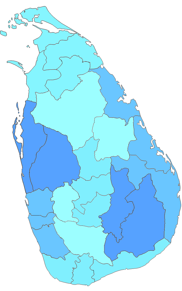
Les districts du Sri Lanka constituent le second niveau de division administrative du pays, immédiatement sous les neuf provinces. Au total, le pays est découpé en 25 districts, chacun délimité pour faciliter la gestion publique, la planification et la prestation des services. La taille, la population et le profil économique varient sensiblement d'un district à l'autre : certains englobent la capitale économique, d'autres sont principalement ruraux ou côtiers.
Galerie d’images
8 Images


Organisation et rôle
Chaque district est administré par un secrétaire de district nommé par le gouvernement central. Ce responsable assure la coordination des services de l'État au niveau local, la mise en œuvre des politiques publiques, la gestion des crises (catastrophes naturelles, sécurité civile) et la supervision administrative des subdivisions. Les districts servent aussi de base pour la collecte de statistiques, le cadastre et la planification territoriale.
Subdivisions et collectivités locales
Les districts sont eux-mêmes divisés en unités administratives inférieures afin de rapprocher l'administration des citoyens. Parmi ces échelons figurent notamment :
- les divisional secretariats (ou sous-unités administratives),
- les unités de terrain appelées Grama Niladhari, responsables de registres et de services à la population,
- les autorités locales élues (Municipal Councils, Urban Councils et Pradeshiya Sabhas) qui gèrent les affaires communales, l'urbanisme et les services locaux.
Histoire et évolution
La structure des districts s'est développée au fil du temps à partir d'arrangements administratifs hérités de l'époque coloniale, puis adaptés par les gouvernements nationaux pour répondre aux besoins modernes de l'État‑providence et de la décentralisation. Si les limites des districts ont connu des ajustements mineurs, ils restent l'un des repères stables de la gouvernance territoriale sri‑lankaise.
Usages et faits notables
Les districts sont utilisés pour organiser les élections locales et nationales, bien que les découpages électoraux puissent parfois différer des limites strictement administratives. Ils jouent un rôle central dans la distribution de l'aide publique, la mise en œuvre des programmes de développement, la collecte de données démographiques et la coordination des secours en cas de catastrophe. Parmi les districts les plus connus figurent Colombo (centre économique), Kandy (importance culturelle et historique) et Galle (port et tourisme), illustrant la diversité des fonctions et des caractéristiques territoriales au sein des 25 districts.
En résumé, les districts du Sri Lanka forment un maillage administratif essentiel qui relie les provinces au niveau local : ils permettent au gouvernement central d'assurer des services de proximité, tout en offrant un cadre pour l'action des autorités locales et la planification territoriale.
Districts
Tous les chiffres de la population proviennent du dernier recensement du Sri Lanka, en 2012. La densité de population a été calculée en utilisant la superficie des terres plutôt que la superficie totale (la superficie totale aurait inclus la superficie des rivières et des lacs).
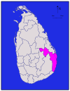
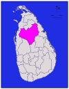
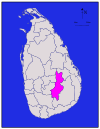
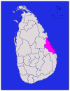
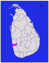
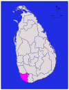
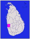
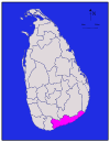
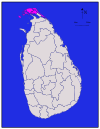
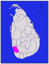
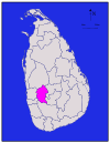
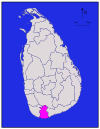
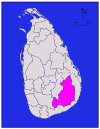
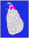
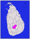
| District | Carte de la région | Province | Capitale du district | Landareain | Superficie des eaux intérieures | Totalareain | Population | Densité de population par |
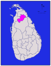
| Ampara |
| Est | Ampara | 4,222 (1,630) | 193 (75) | 4,415 (1,705) | 648,057 | 153 (400) |
| Anuradhapura |
| Centre-Nord | Anuradhapura | 6,664 (2,573) | 515 (199) | 7,179 (2,772) | 856,232 | 128 (330) |
| Badulla |
| Uva | Badulla | 2,827 (1,092) | 34 (13) | 2,861 (1,105) | 811,758 | 287 (740) |
| Batticaloa |
| Est | Batticaloa | 2,610 (1,010) | 244 (94) | 2,854 (1,102) | 525,142 | 201 (520) |
| Colombo |
| Western | Colombo | 676 (261) | 23 (8.9) | 699 (270) | 2,309,809 | 3,417 (8,850) |
| Galle |
| Sud | Galle | 1,617 (624) | 35 (14) | 1,652 (638) | 1,058,771 | 655 (1,700) |
| Gampaha |
| Western | Gampaha | 1,341 (518) | 46 (18) | 1,387 (536) | 2,294,641 | 1,711 (4,430) |
| Hambantota |
| Sud | Hambantota | 2,496 (964) | 113 (44) | 2,609 (1,007) | 596,617 | 239 (620) |
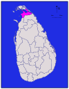
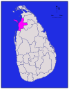
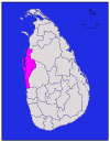
| Jaffna |
| Nord | Jaffna | 929 (359) | 96 (37) | 1,025 (396) | 583,378 | 628 (1,630) |
| Kalutara |
| Western | Kalutara | 1,576 (608) | 22 (8.5) | 1,598 (617) | 1,217,260 | 772 (2,000) |
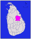
| Kandy |
| Central | Kandy | 1,917 (740) | 23 (8.9) | 1,940 (750) | 1,369,899 | 715 (1,850) |
| Kegalle |
| Sabaragamuwa | Kegalle | 1,685 (651) | 8 (3.1) | 1,693 (654) | 836,603 | 497 (1,290) |
| Kilinochchi |
| Nord | Kilinochchi | 1,205 (465) | 74 (29) | 1,279 (494) | 112,875 | 94 (240) |
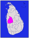
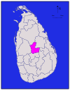
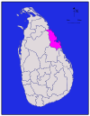
| Kurunegala |
| Nord Ouest | Kurunegala | 4,624 (1,785) | 192 (74) | 4,816 (1,859) | 1,610,299 | 348 (900) |
| Mannar |
| Nord | Mannar | 1,880 (730) | 116 (45) | 1,996 (771) | 99,051 | 53 (140) |
| Matale |
| Central | Matale | 1,952 (754) | 41 (16) | 1,993 (770) | 482,229 | 247 (640) |
| Matara |
| Sud | Matara | 1,270 (490) | 13 (5.0) | 1,283 (495) | 809,344 | 637 (1,650) |
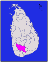
| Moneragala |
| Uva | Moneragala | 5,508 (2,127) | 131 (51) | 5,639 (2,177) | 448,142 | 81 (210) |
| Mullaitivu |
| Nord | Mullaitivu | 2,415 (932) | 202 (78) | 2,617 (1,010) | 91,947 | 38 (98) |
| Nuwara Eliya |
| Central | Nuwara Eliya | 1,706 (659) | 35 (14) | 1,741 (672) | 706,588 | 414 (1,070) |
| Polonnaruwa |
| Centre-Nord | Polonnaruwa | 3,077 (1,188) | 216 (83) | 3,293 (1,271) | 403,335 | 131 (340) |
| Puttalam |
| Nord Ouest | Puttalam | 2,882 (1,113) | 190 (73) | 3,072 (1,186) | 759,776 | 264 (680) |
| Ratnapura |
| Sabaragamuwa | Ratnapura | 3,236 (1,249) | 39 (15) | 3,275 (1,264) | 1,082,277 | 334 (870) |
| Trincomalee |
| Est | Trincomalee | 2,529 (976) | 198 (76) | 2,727 (1,053) | 378,182 | 150 (390) |
| Vavuniya |
| Nord | Vavuniya | 1,861 (719) | 106 (41) | 1,967 (759) | 171,511 | 92 (240) |
| Total | 62,705 (24,211) | 2,905 (1,122) | 65,610 (25,330) | 20,263,723 | 323 (840) |


Questions et réponses
Q : Que sont les districts au Sri Lanka ?
R : Au Sri Lanka, les districts sont les divisions administratives de deuxième niveau.
Q : Quel est le premier niveau de division administrative au Sri Lanka ?
R : Le premier niveau de division administrative au Sri Lanka est celui des provinces.
Q : Combien y a-t-il de districts au Sri Lanka ?
R : Il y a 25 districts au Sri Lanka.
Q : Combien y a-t-il de provinces au Sri Lanka ?
R : Il y a 9 provinces au Sri Lanka.
Q : Qui administre chaque district au Sri Lanka ?
R : Chaque district du Sri Lanka est administré par un secrétaire de district.
Q : Qui nomme les secrétaires de district au Sri Lanka ?
R : Le gouvernement central nomme les secrétaires de district au Sri Lanka.
Q : Quels sont les noms des divisions administratives utilisés en cinghalais et en tamoul au Sri Lanka ?
R : Les divisions administratives du Sri Lanka sont appelées "දිස්ත්රික්ක" en cinghalais et "மாவட்டம்" en tamoul.
Articles liés
Auteur
AlegsaOnline.com Districts du Sri Lanka Leandro Alegsa
URL: https://fr.alegsaonline.com/art/27771
Sources
- commons.wikimedia.org : Districts of Sri Lanka
- priu.gov.lk : "At a Glance"
- ds.gov.lk : "Vision & Mission" · web.archive.org
- archives.dailynews.lk : "Kilinochchi a brief look"